A new low-pressure area (LPA) located 1,800 kilometers off northeastern Mindanao is expected to enter the Philippine Area of Responsibility (PAR) on Saturday, according to the Philippine Atmospheric, Geophysical and Astronomical Services Administration (Pagasa).
Once it enters PAR, this weather disturbance will be named “Falcon” as it transforms into a tropical depression.
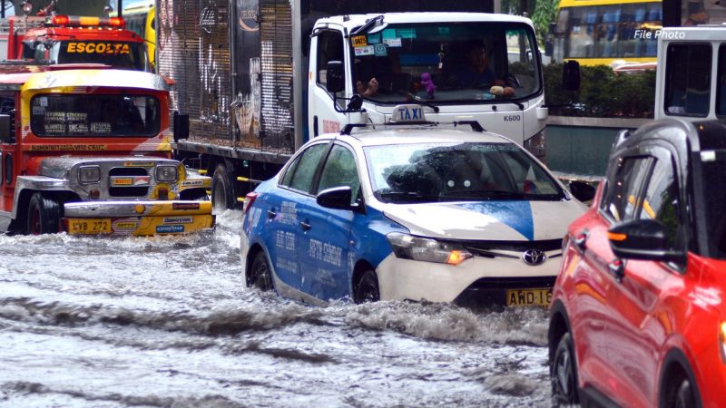
While it currently has no direct impact on the country in the next two days, Pagasa predicts that on the first day of August, the LPA will likely intensify the southwest monsoon, also known as “habagat,” resulting in increased rainfall.
In other weather updates, Typhoon Egay has already departed the Philippines but maintains its strength as it moves toward the southwest of Taiwan.
Pagasa has issued Signal No. 2 warnings in specific areas, including Batanes, northwestern portions of Cagayan (Claveria and Santa Praxedes), Babuyan Islands, and the northern portion of Ilocos Norte (Pagudpud, Adams, Bangui, Dumalneg, and Burgos).