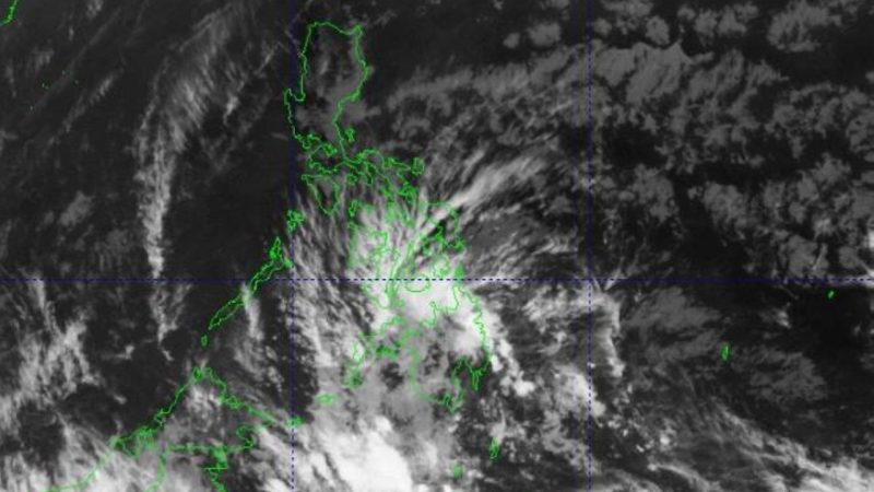
MANILA — The Philippines may encounter its first storm of the year this month (February) should the observed low-pressure area (LPA) near General Santos City escalate into a tropical depression upon entering the Philippine Area of Responsibility (PAR), as reported by the state-run weather bureau on Thursday.
According to Pagasa weather specialist Benison Estareja, the potential tropical cyclone will be designated as “Aghon” upon its entry into the country.
As of the latest update, the LPA is positioned approximately 195 kilometers southwest of General Santos City.
Estareja noted that the LPA currently possesses a “very slim chance of intensifying into a tropical depression and entering PAR in the coming days.”
Nevertheless, its trough or extension is impacting regions in Mindanao and Visayas, where scattered to widespread rains and thunderstorms are anticipated over the next 24 hours, according to the 5 a.m. advisory from the state weather bureau.
The northeast monsoon, known as “amihan,” is responsible for bringing partly cloudy to overcast skies with isolated light rains over Luzon, including Metro Manila, as outlined by Estareja.
“While generally fair weather prevails in most parts of Luzon, scattered downpours and thunderstorms may occur in the afternoon or at night,” added Estareja.
(By el Amigo/MNM)


